Photo courtesy of the City of Mankato - Mankato, MN - Ivy Lane satellite image prior to 2000. The top of the image is due north and the future Victory Drive bridge will be at the bottom center of this image. Today's remnant of Thompson Ravine Road is on the left.

Around the year 2000, an entire neighborhood in Mankato on what was Ivy Lane was relocated to make way for construction.

As a kid, I grew up nearby in the house that now sits between Thompson Ravine Road and Highway 14 just off of North Victory Drive. I’ve been chronicling the development of that part of Mankato for many years.

This is the second of three installments that tell some of the history of the development around what is now North Victory Drive.

Previously, I described the Victory Drive renovation in the story Mankato Memories – Ten Years Later – Victory Drive Renovation Photo Album.

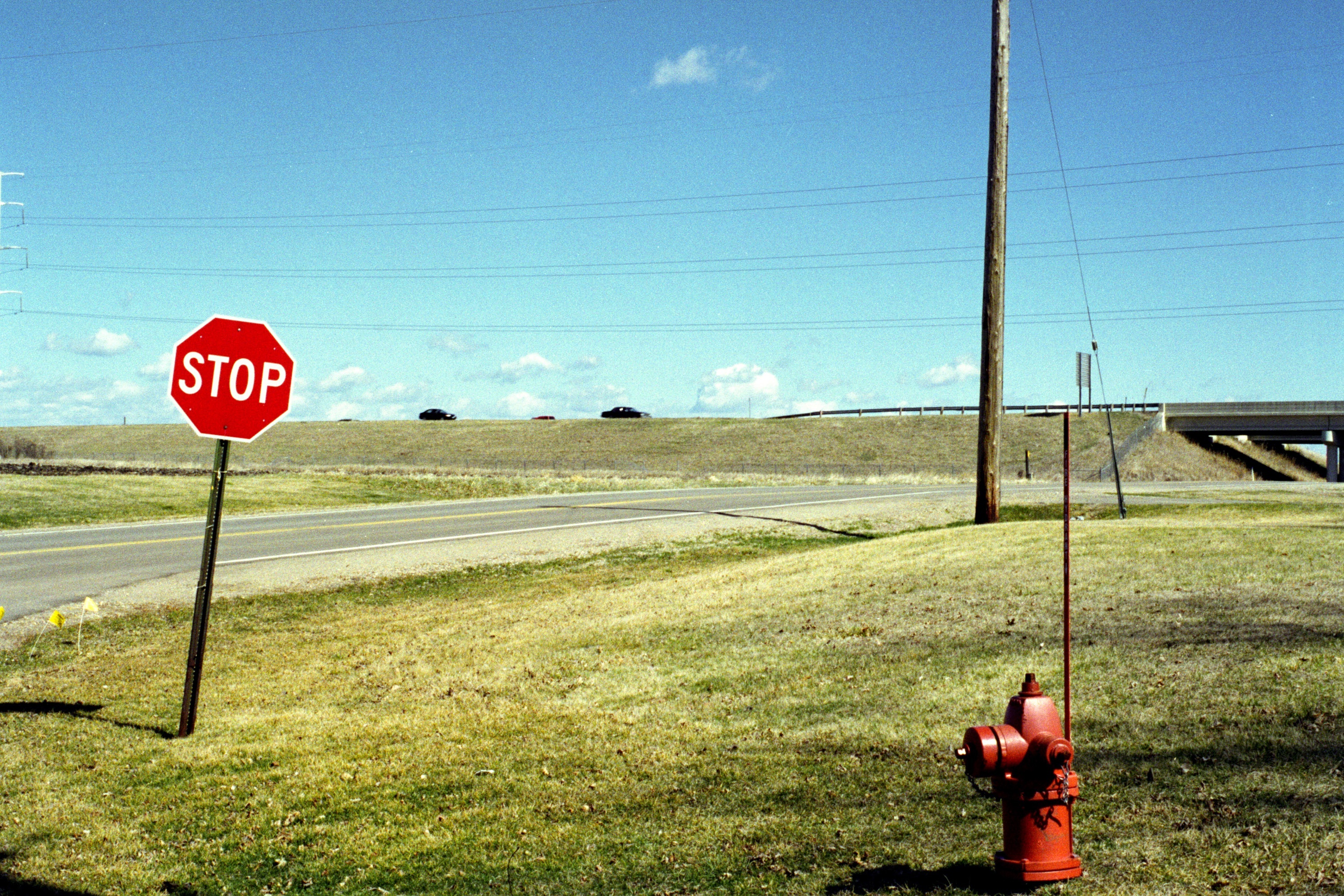
Chronologically, that story was the last of three and this story is the first. The middle, and final installment, will talk about the building of the Victory Drive bridge which was completed in 2004.

The Ivy Lane Subdivision

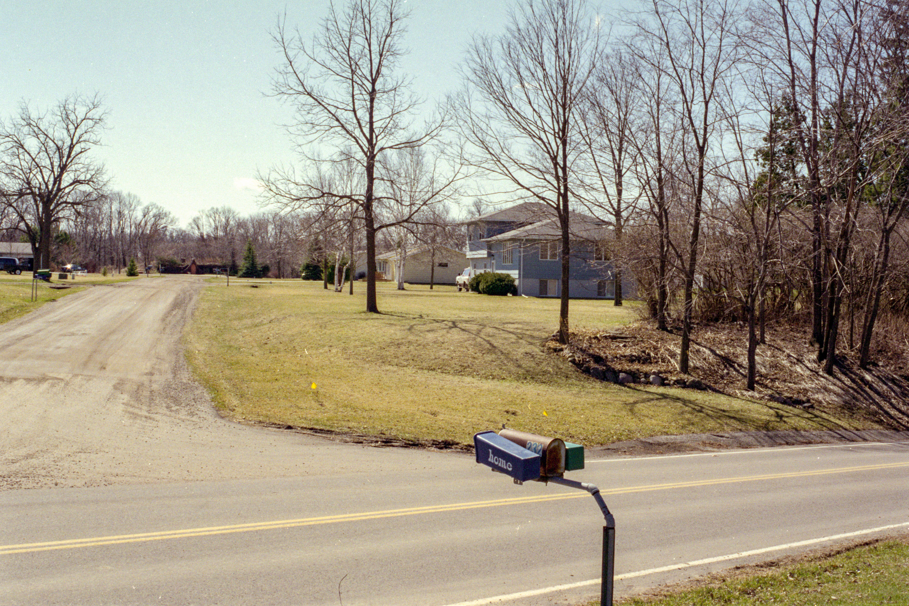
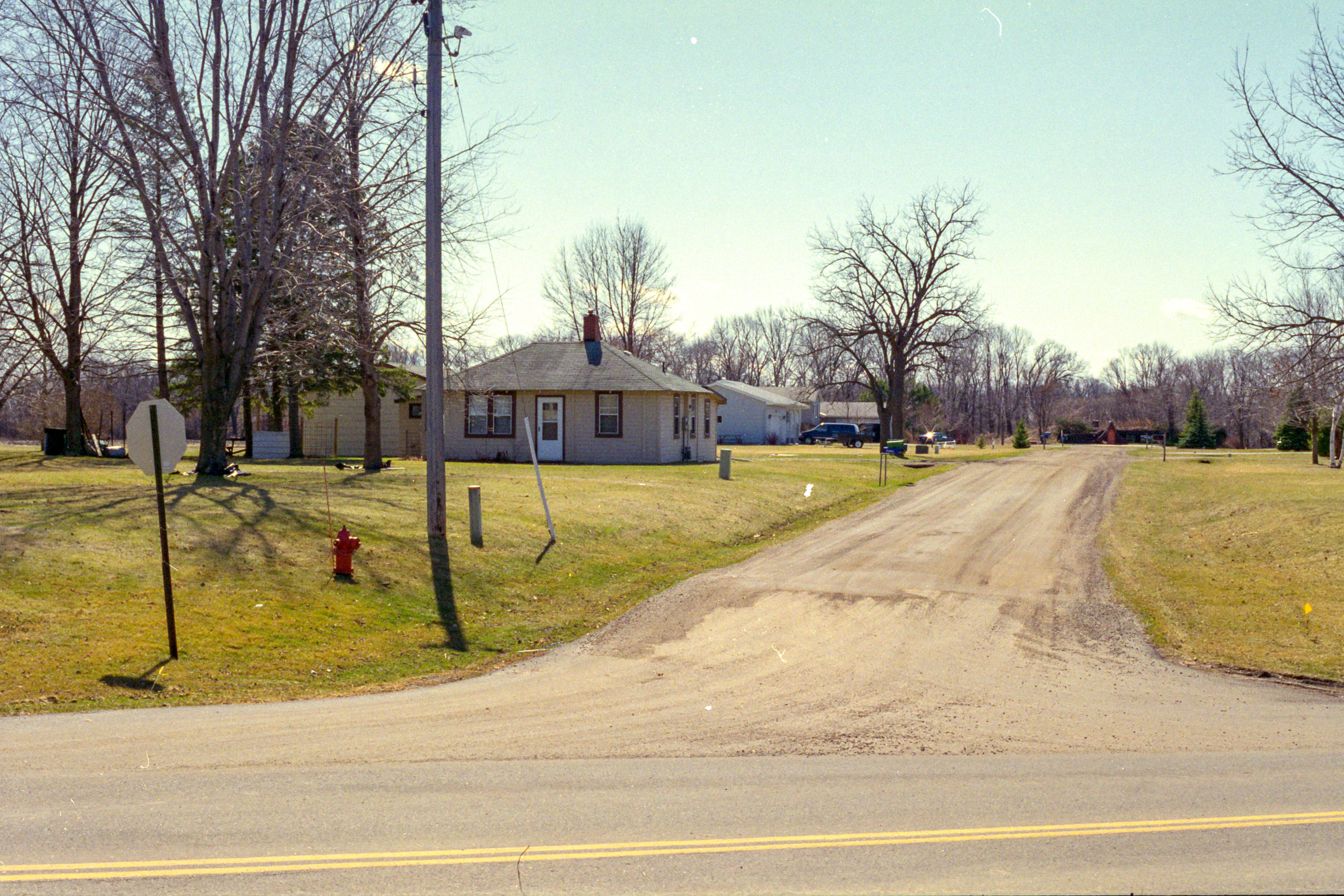
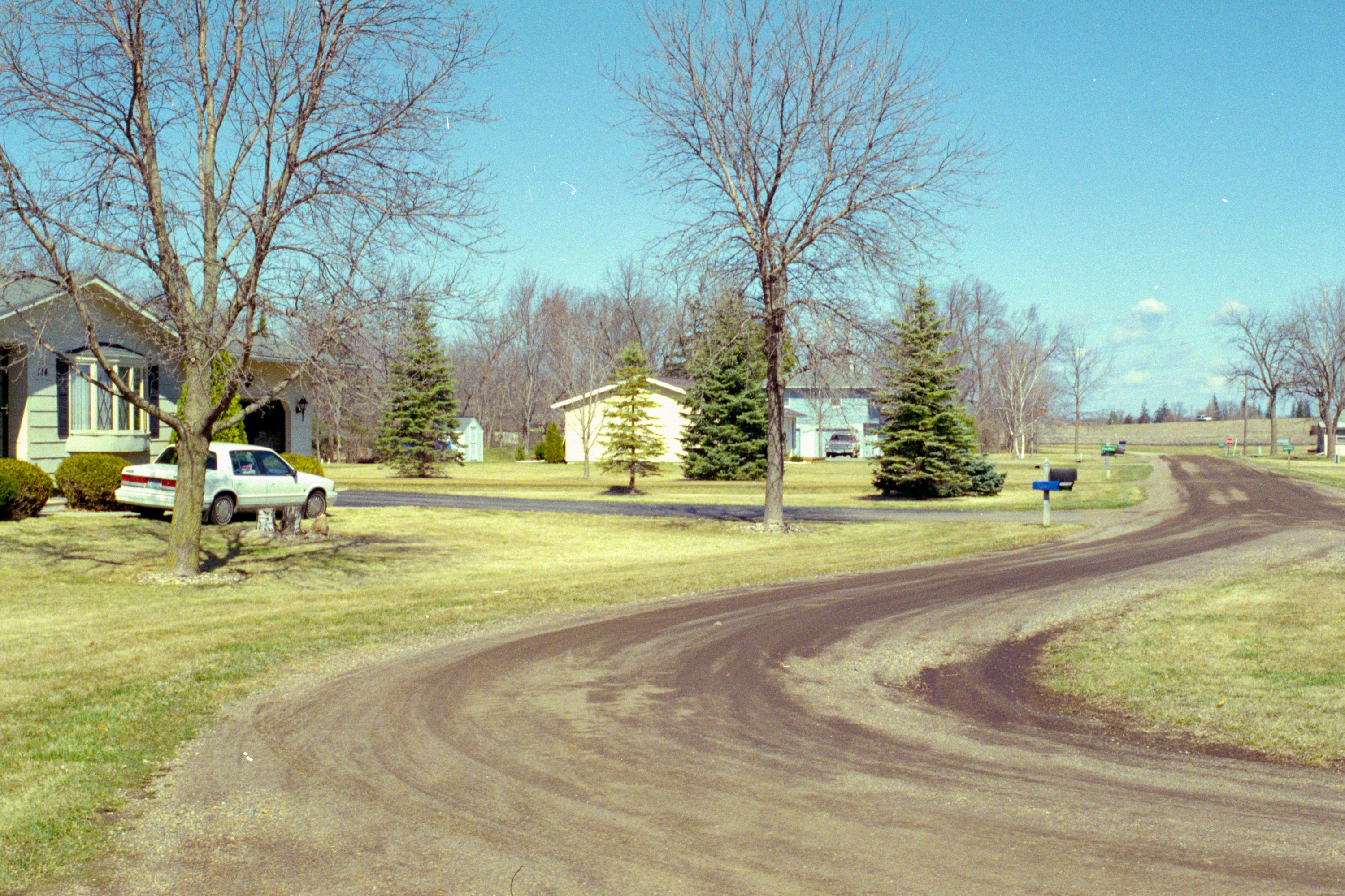
The Ivy Lane neighborhood began in the mid 70s when John P. Huettl began parceling out long-held family property south of County Road 3, also known as Thompson Ravine Road.

The anchor of the neighborhood were the three houses dating as far back as the 1920s, beginning with Huettl’s parents’ home. Later Huettl added a house and Chuck Zellmer added another in the 1950s.

The Zellmers’ home had its own access to Thompson Ravine via a steep gravel driveway. When I was growing up that home was owned by Harold and Shirley Olson. Because the driveway was so steep it was subject to rutting. While the sledding was great, it was sometimes treacherous for a kid on a bike! No doubt the owners were thankful to have more modern access when Ivy Lane was built.

The Ivy Lane neighborhood began in the mid 70s.

The new Lane ran from County Road 3 to the edge of the ravine, back to the earth home originally built by Rod Mitchell. This was where the ravine is now spanned by the Victory Drive bridge.

Doug and Terry Roy built on the east side of Ivy Lane and Roger Huettl built at the opposite end overlooking Thompson Ravine. Three more houses followed, the last being built as late as the early 90s.

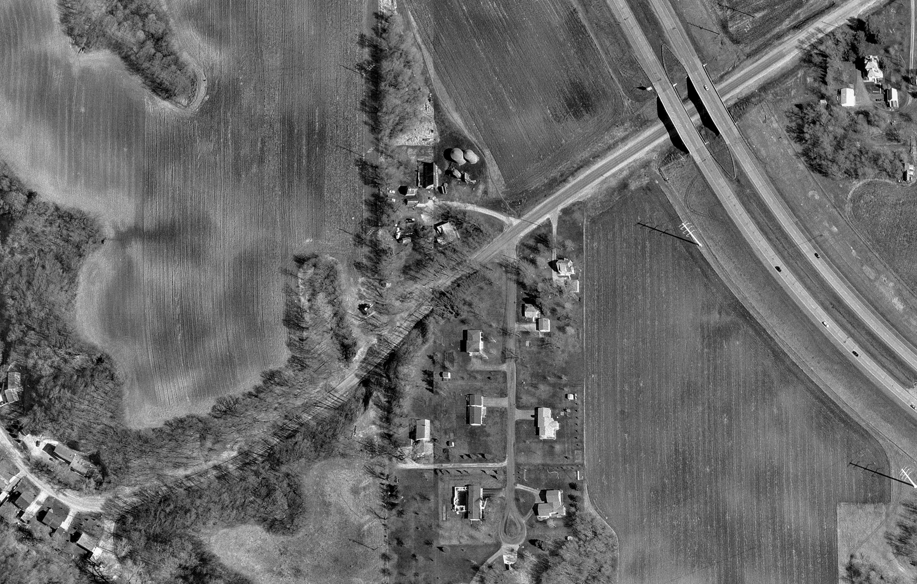
The City of Mankato provided me with a satellite photo of that area that shows what the entire area looked like before 2000. The top of the image is due north and the Victory Drive bridge will sit at the very bottom edge of this image. It’s interesting to compare this image with the satellite image on Google Maps.

Photo courtesy of the City of Mankato - Mankato, MN - Ivy Lane satellite image prior to 2000. The top of the image is due north and the future Victory Drive bridge will be at the bottom center of this image. Thompson Ravine Road is on the lower left.
Photo courtesy of the City of Mankato – Mankato, MN – Ivy Lane satellite image prior to 2000. The top of the image is due north and the future Victory Drive bridge will be at the bottom center of this image. Today’s remnant of Thompson Ravine Road is on the left.

The Displacement

The displacement of the Ivy Lane subdivision began early in the spring of 2000. The area has undergone quite a transformation since then.

Photo by Rick Pepper - Mankato, MN - The road exiting Thompson Ravine prior to 2000
Photo by Rick Pepper – Mankato, MN – The road exiting Thompson Ravine prior to 2000
Photo by Rick Pepper - Mankato, MN - Access road to Good Counsel's field from Thompson Ravine. Today the field hosts a solar panel farm.
Photo by Rick Pepper – Mankato, MN – Access road to Good Counsel’s field from Thompson Ravine. Today the field hosts a solar panel farm.
Photo by Rick Pepper - Mankato, MN - Good Counsel Solar Farm looking north.
Photo by Rick Pepper – Mankato, MN – Good Counsel Solar Farm looking north.
Photo by Rick Pepper - Mankato, MN - April 25, 2000 looking south down Ivy Lane, Roger Huettl's (former) house on the right.
Photo by Rick Pepper – Mankato, MN – April 25, 2000 looking south down Ivy Lane, Roger and later Stanley Huettl’s house on the right.
Photo by Rick Pepper - Mankato, MN - April 25, 2000 looking north from near the cul-de-sac with Zupfer's house in view.
Photo by Rick Pepper – Mankato, MN – April 25, 2000 Panned slightly to the east from the previous photo, looking south down Ivy Lane.
Photo by Rick Pepper - Mankato, MN - View from Ivy Lane looking northeast in March of 2000. The only object that remains the same from this photo is the Highway 14 bridge and roadway.
Photo by Rick Pepper – Mankato, MN – View from Ivy Lane looking northeast in March of 2000. The only object that remains the same from this photo is the Highway 14 bridge and roadway.
Photo by Rick Pepper - Mankato, MN - April 25, 2000 looking south down Ivy Lane, Roger Huettl's (former) house on the right.
Photo by Rick Pepper – Mankato, MN – April 25, 2000 looking north from near the cul-de-sac with Zupfer’s house in view.
Photo by Rick Pepper - Mankato, MN - View from the Ivy Lane cul-de-sac looking northeast.
Photo by Rick Pepper – Mankato, MN – View from the Ivy Lane cul-de-sac looking northeast.